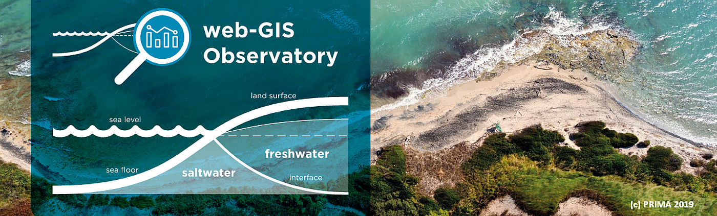
The phreatic aquifer of Bouficha is located between 36°20′ latitude-N and 10°20′ longitude-E, covering a surface of about 12.4 skm. Surface water availability in the region of Bouficha is very limited since the average annual rainfall is 431 mm.
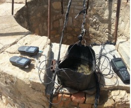 Water quality measurements
The major groundwater recharge source for the Bouficha aquifer comes from the infiltration of surface runoff in the wadi-beds. The Oued Rmel wadi has been considered to play a vital role in feeding the Bouficha aquifer. Groundwater discharge from the aquifer occurs through natural as well as by artificial means. The amount of groundwater abstraction has increased since 1990s due to the significant population growth in the Bouficha region, as well as the increase in agricultural activities.
loading map - please wait...
The intensive abstractions lead to groundwater deterioration because of seawater intrusion, as indicated by TDS values varying between 1.7 and 8.5 mg/L. Therefore, the development of a sustainable water resources management framework is expected to significantly contribute to the social and economic sustainability of Bouficha region.
| Aquifer extension | 12.4 km² |
| Total exploitation | 0,97 million m³/y (30,76 L/s) |
| Water use |
|
| Major challenges | Salinization of groundwater (seawater intrusion) and pollution due to agricultural activities |
| Land use | The Bouficha region is known for its intense agricultural activities. The dominant agricultural activities are arboriculture, cereals and livestock. These activities require large quantities of water supplied mainly by the Bouficha aquifer and the irrigation water of the Oued Rmel dam. |
| Cities supplied | 9 931 inhabitants served |